GIMS Project [Geodetic Integrated Monitoring System]
Geological, hydrological, geotechnical and environmental phenomena that cause deformations on the Earth’s surface (subsidence, landslides, floods, depressions, tectonic activity) occur at ever higher frequency, also due to extreme environmental events due to climate change and geophysical phenomena (earthquakes) , volcanic eruptions).
These phenomena have negative and in some cases destructive impacts on the territory, on structures (dams, bridges, buildings), on infrastructures (roads, railways, canals, pipes and energy infrastructures) and on historical and cultural value structures (churches, ruins and archaeological sites).
The sensitivity of different areas in Europe – and in general also at a global level – compared to these phenomena (for example, to the events related to the earthquake in the Marche region), highlights the need for an integrated and convenient geodetic monitoring system.
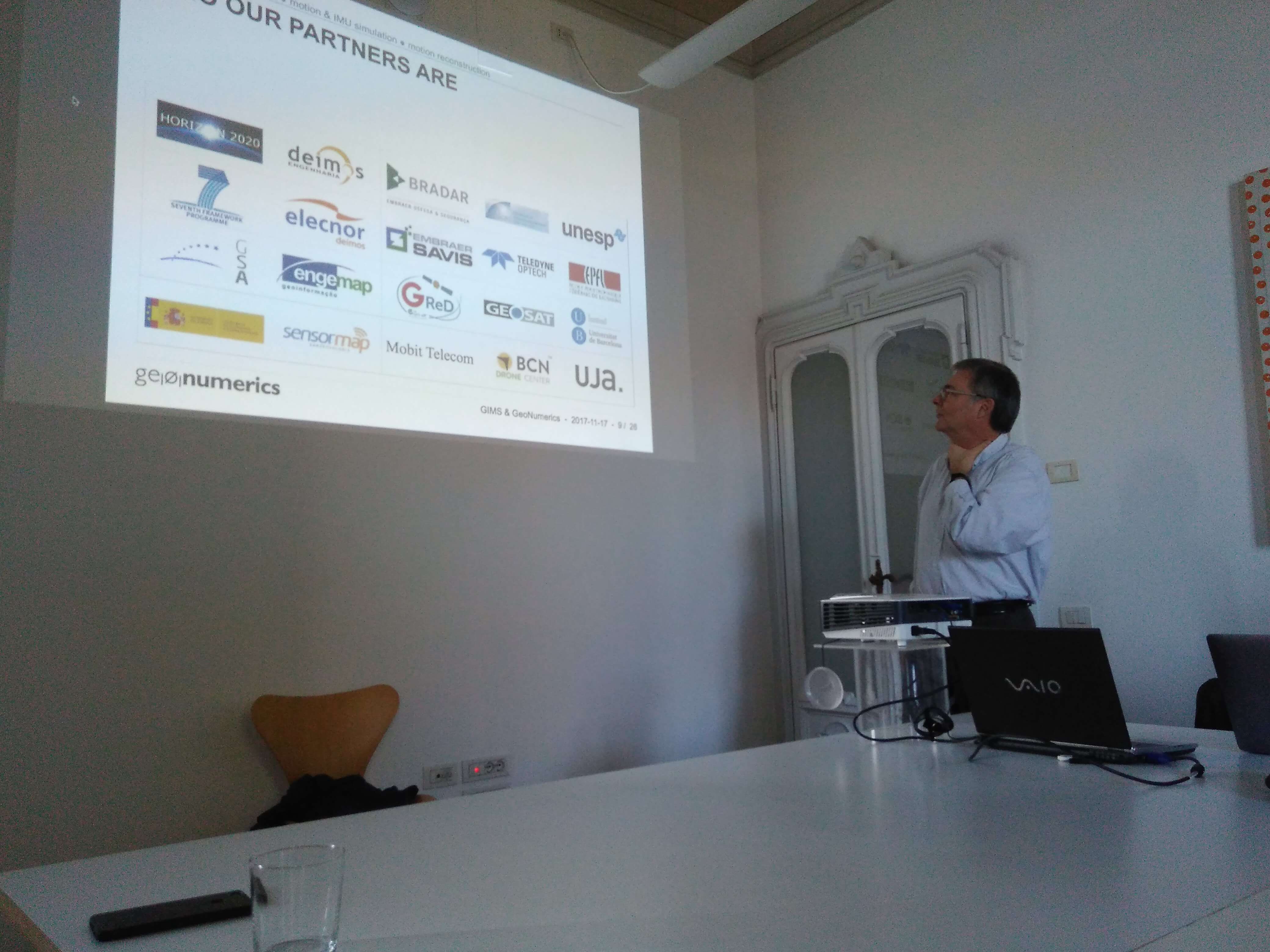
The goal of the GIMS project is to integrate three monitoring technologies and then test the monitoring service on a couple of landslides located in Slovenia (thanks to the Slovenian Geological Service).
Technologies:
GNSS – tracking of movements using “GPS” data (point data, high refresh rate)
SAR – data derived from satellite radar images (area data, lower refresh rate – function of satellite transit time)
MEMS – data from accelerometers, particularly useful for detecting instantaneous displacements
Visit the website
This project has received funding from the European GNSS Agency under the European Union’s Horizon 2020 research and innovation programme under grant agreement No. 776335.